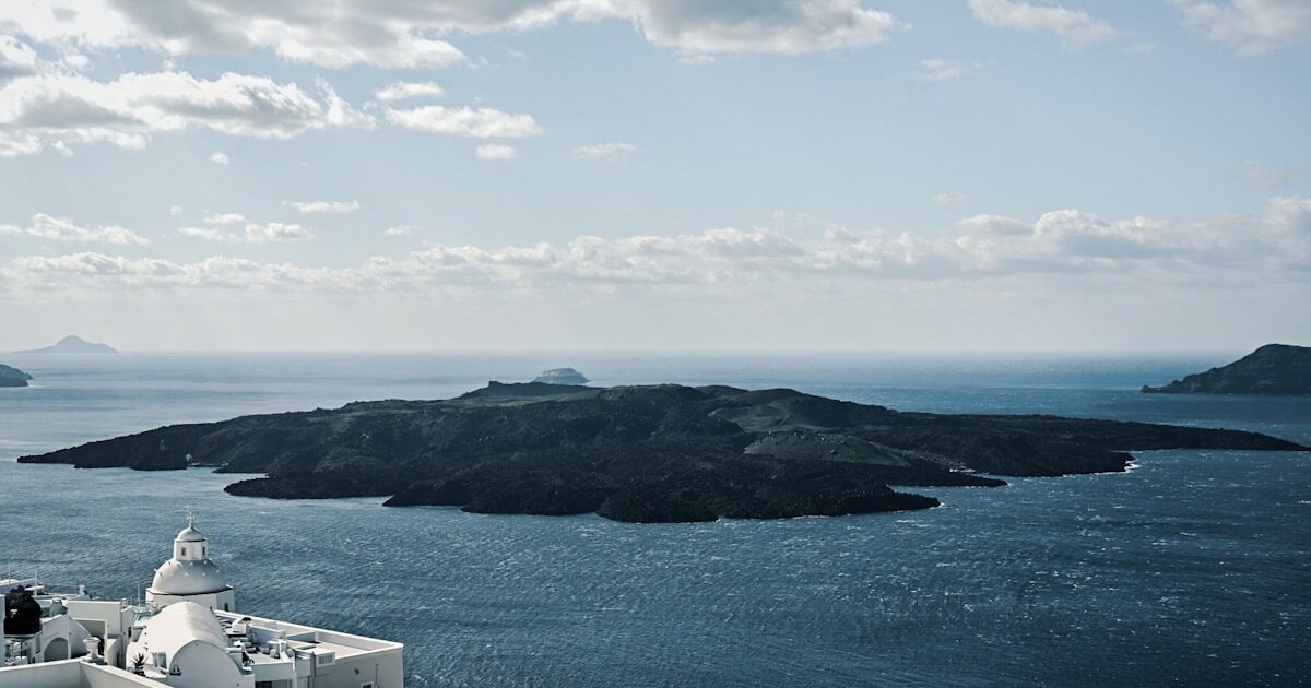
A few weeks after the end of prolonged volcanic activity observed for almost a month in SantoriniAUTH is trying to shed light on the causes that made most residents leave the island for several days and schools stay closed for days.
The first findings of the AUTH using COSMO-SKYMED Radar Satellite Data in collaboration with ASI give signs of activity to the northern part of Santorini Caldera in July 2024 and territorial distortion that evolved by the end of the year. The same data also show that by February 2025, an additional territorial deformation was observed that is linked to the tectonic-volcanic activity of the wider area of Anhydros.
With the aim of enhancing the monitoring of the Santorini volcano, one of Europe’s most active volcanoes, the Aristotle University of Thessaloniki’s Aristotle University of Thessaloniki and the Italian Space Service (ASI), have entered into a scientific cooperation agreement. As stated in a statement from the Aristotle University of Thessaloniki, this cooperation, in the context of ASI research project, utilizes high-resolution data from the constellation of COSMO-SKYMED satellite radar to monitor the territorial deformation associated with volcanic activity. The above cooperation is considered major, as it takes place in a period of renewal of Santorini Volcano.
Agreement ensures constant monitoring of Santorini’s volcano for period of at least two yearsthrough systematic reception and analysis of COSMO-SKYMED data. These observations will complement the current efforts of the AUTH and the Santorini Volcano Study and Monitoring Institute (https://ismosav.gr/), which already use business data from the European satellite mission Copernicus Sentinel-1 for the purpose of monitoring.
By combining radar data from different missionsvolcano monitoring is upgraded both on a time and spatial scale. The above synergy is particularly critical as the increased reception frequency provided by the COSMO-SKYMED shipment allows for denser time coverage of the phenomenon, equally improving the ability to detect and more fully interpreted early deformation.
As part of the collaboration, ASI provides access to a number of archived images and coordinates the reception of new COSMO-SKYMED satellite images, while the AUTH is leading the processing and analysis of data with the technique of radar (Interferometric SAR-Insar).
The two institutions cooperate together in the interpretation of the resultsand present the findings to Executive National Bodies and International Committees, including CEOS Working Group for Disasters (CEOS Working Group Disasters Wgdisasasters https://ceos.org/ourwork/workinggroups/disasasters/). They will also disseminate scientific results with relevant announcements and publications in valid scientific journals.
This initiative underlines the importance of international cooperation in the monitoring of the Risk and in particular in complex geological environments and densely populated volcanoes, such as Santorini. The incorporation of advanced satellite observations with terrestrial monitoring networks that maintain IMPP, such as seismological, GNSS and geochemical network, can provide a multiparametric volcanic monitoring system, enhancing both the scientific understanding of the volcano operation and the safety of the volcano.
